Monitoring Crop
Conditions
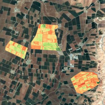
Using various sensors on satellites to collect data about the earth’s surface and crop growth models such as APSIM, and Aquacrop in order to assess the health and growth of crops, predict yields, and inform crop management decisions.
High Resolution Soil Moisture Data
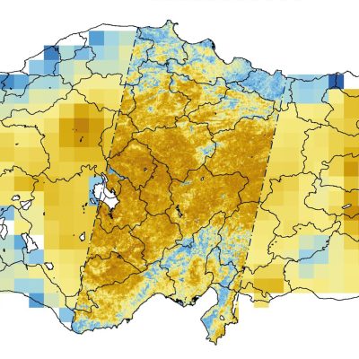
The water content of the soil with a high spatial resolution that allows for detailed monitoring and mapping of the soil moisture at a local scale, providing valuable information for agriculture, water management, and natural hazards.


Hydropower Plant Prodution Forecasts
Estimating and predicting the amount of electricity that can be generated from HPP by using models, historical data, basin characteristics, and weather forecast information to account for factors such as water flow, precipitation, and temperature.
Drought Monitoring Maps
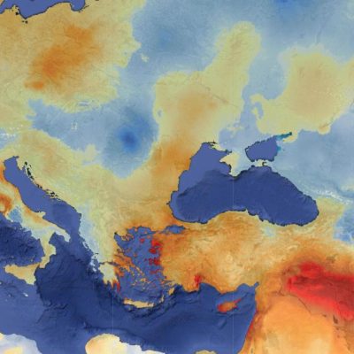
Graphical representations of the severity, spatial extent, and duration of drought conditions, are usually generated by analyzing meteorological and hydrological data to provide decision support for water management and drought mitigation.

