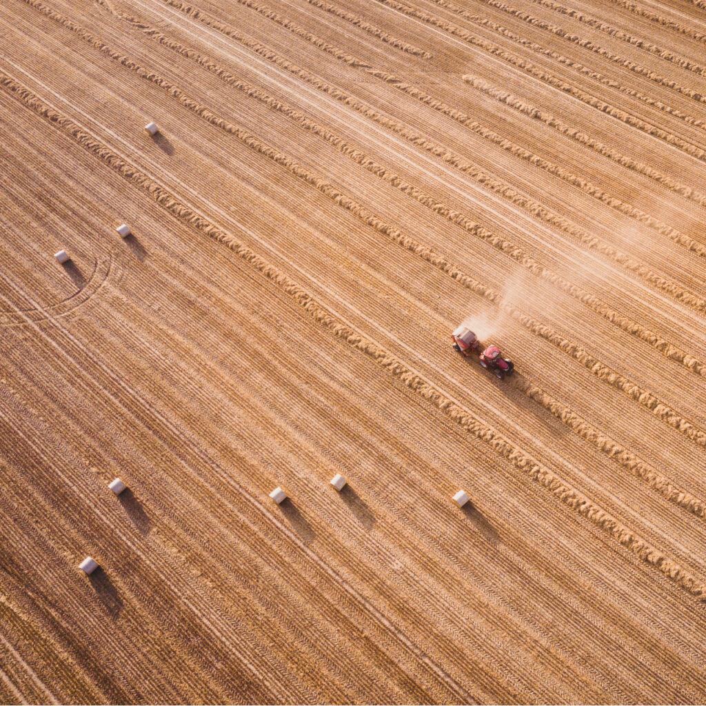
Crop Yield Prediction
Big datasets obtained from satellite imageries and model outputs within statistical- and process-based models to provide accurate and specific predictions on crop yields at regional and field scales.

Drought Analysis
A combination of data sources, models, and techniques to understand the past, current and future impacts of drought on different sectors considering the context of climate change.
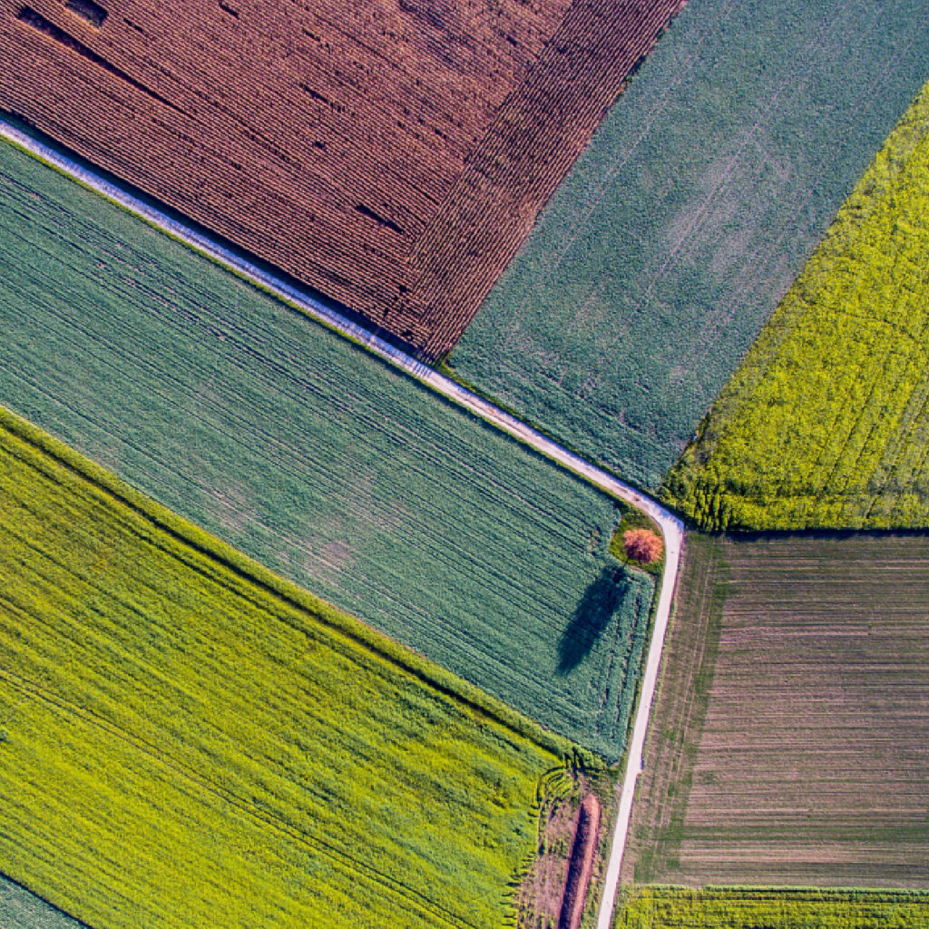
Crop Classification
Advanced AI algorithms and satellite imageries to accurately identify and classify different types of crops in a given area, providing valuable insights for agricultural management and crop monitoring.

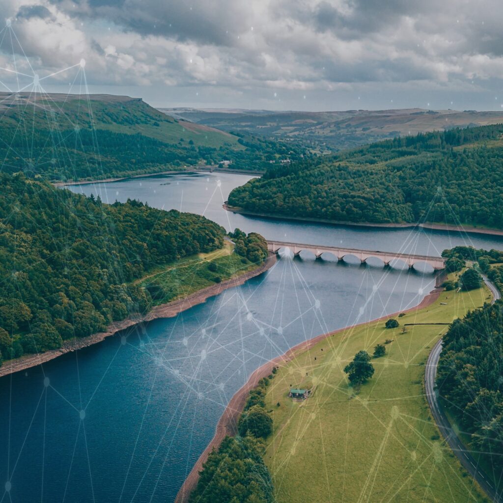
Hydrological Forecast
Numerical/Physical models, weather data, and other inputs to predict the future behavior of different hydrological variables, such as river flow, groundwater levels, and soil moisture contents.

Climate Change Impact Assessment
The process of evaluating the scientific evidence of past and current climate changes, projecting future changes, and evaluating the impacts of these changes on natural and human systems.

Spatial-Temporal Analysis
Interpreting the patterns, and interactions of phenomena that change in both space and time, with the use of geographical information, data visualization, and statistical methods.
Simulation & Optimization
The use of mathematical models, computer-based methods, and algorithms to imitate the behavior of a system or process and find the best solution or outcome among a set of possible scenarios or inputs.
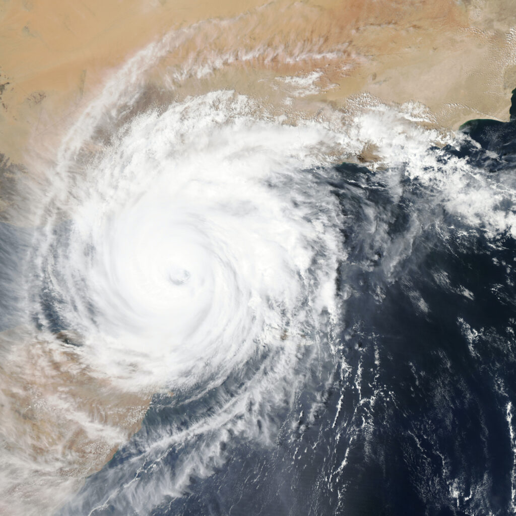
Numerical Weather Prediction
The process of using mathematical models of the atmosphere and oceans, along with data from observations, to predict weather patterns and forecast future weather conditions.
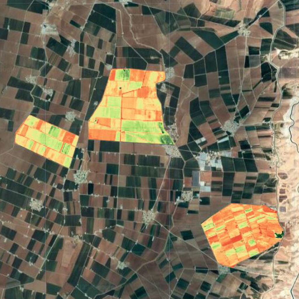
Monitoring Crop
Conditions
Using various sensors on satellites to collect data about the earth's surface and crop growth models such as APSIM, and Aquacrop in order to assess the health and growth of crops, predict yields, and inform crop management decisions.
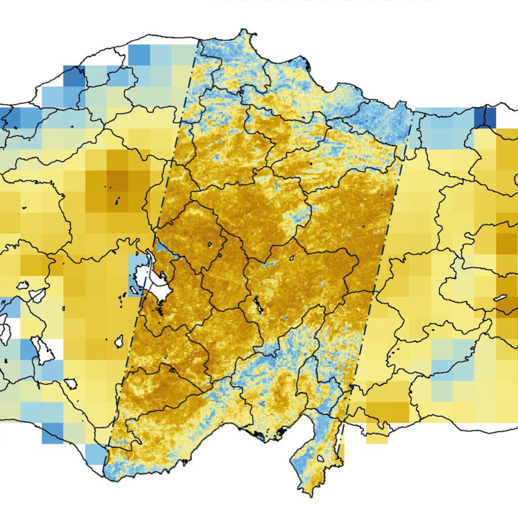
High Resolution Soil Moisture Data
The water content of soil with a high spatial resolution that allows for detailed monitoring and mapping of the soil moisture at a local scale, providing valuable information for agriculture, water management, and natural hazards.

Hydropower Plant Prodution Forecasts
Estimating and predicting the amount of electricity that can be generated from HPP by using models, historical data, basin characteristics and weather forecast information to account for factors such as water flow, precipitation, and temperature.
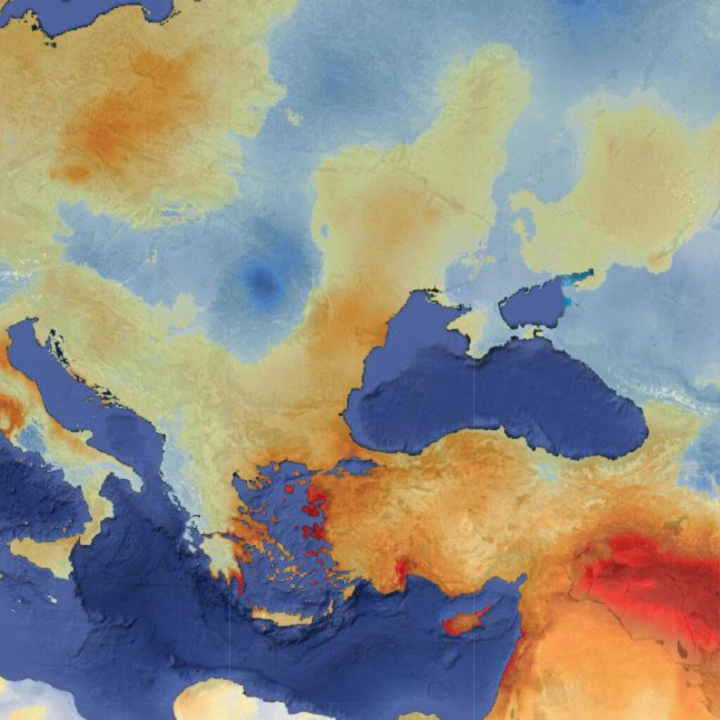
Drought Monitoring
Maps
Graphical representations of the severity, spatial extent, and duration of drought conditions, are usually generated by analyzing meteorological and hydrological data to provide decision support for water management and drought mitigation.

Precision Agriculture

water resource Management

climate monitoring

Parametric Insurance